
How to Cite
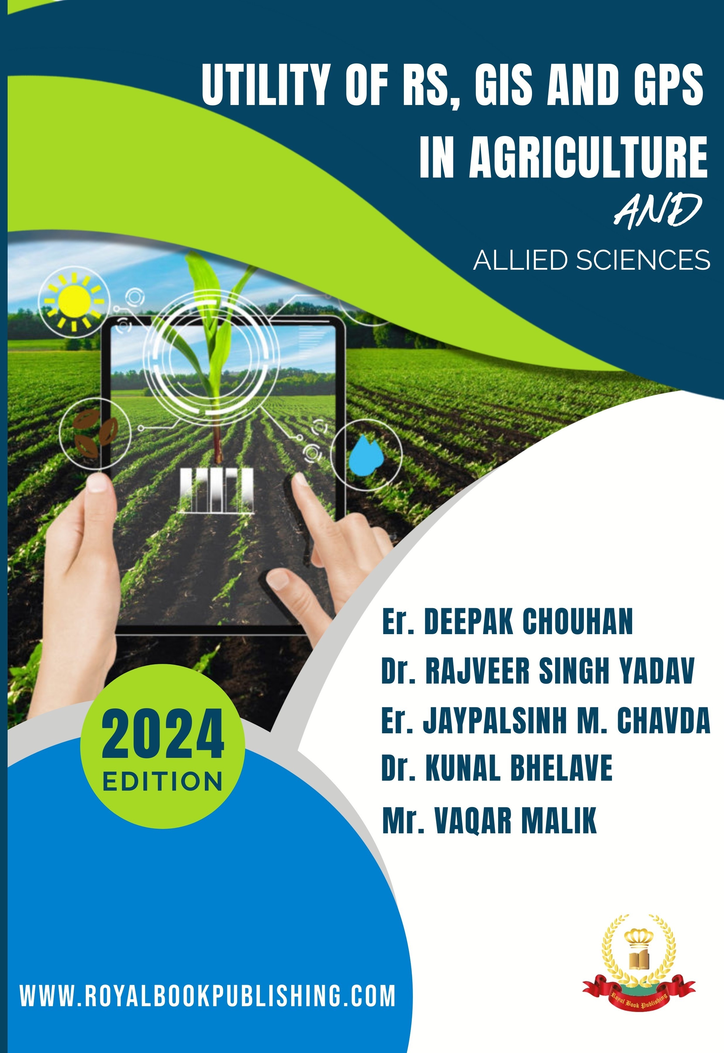
UTILITY OF RS, GIS AND GPS IN AGRICULTURE AND ALLIED SCIENCES
Authors
| ISBN | 9788119821327 | DOI | 10.26524/236.1 |
|---|---|---|---|
| Publisher | Universdas Publishing | Edition | 1st |
| Language | English | Published | 22 Oct 2026 |
| Pages | 1–300 | License | All Rights Reserved |
Description
The field of agriculture is currently experiencing a technological revolution, with remote sensing, GIS, and GPS playing a pivotal role in this transformation. By utilizing these technologies to gather extensive data from various sources such as land, air, and space, remote sensing provides farmers and researchers with unprecedented insights into crop growth, soil moisture levels, and weather patterns. These valuable insights enable farmers to make more informed decisions, optimize their yields, and minimize their environmental impact. The integration of remote sensing, GIS, and GPS has been instrumental in the field of agriculture and crop management, allowing for local, regional, and even global scale estimation and analysis. This has been made possible through the simultaneous development of crop models and remote sensing techniques.
Keywords
X- Ray CrystallographySingle CrystalsCrystal StructureCambridge Structural DatabaseWINGX Software
Chapters
| # | Chapter title | Authors | Pages | Download |
|---|---|---|---|---|
| 1 | A STUDY ON GENDER DIFFERENCES INFLUENCE OF PERSONALITY DEVELOPMENT AMONG YOUTH | Anto Nirmal F, I.Maria Yesuraja, Ms.Gopika O S | 1–9 |